
Morgantown Neighbor Sources by Block
Start with geography. The West Virginia Parcel Viewer shows a subject parcel, adjacent polygons, E-911 address, flood layer, details, and links to other maps. The county Assessor adds tax-year owner and parcel data after each lot is opened. Neither source says who is physically present today.
| Source | What it shows about a block | Access and limit |
|---|---|---|
| WV Parcel Viewer | Subject and adjacent parcels, E-911 address | Free; no verified radius tool |
| County Assessor | Owner, parcel ID, deed link, tax year | Not title or occupancy proof |
| Recorded documents | Lot lines, easements and transfers | Clerk index, office computer, copies |
| Sanborn maps | Older footprints and street layout | 1892 through 1921; not current |
| Neighborhood notices | Civic neighborhood and ward context | Areas may overlap |
| City directories | Names along a street in one year | Gaps; no relationship proof |
Use the source date in every note. Say that two parcels share a boundary, or that an owner appears for one tax year. Do not turn those facts into claims about a household.
Map Morgantown Neighbors Parcel by Parcel
The Monongalia County GIS viewer returned a gateway error during research, so the statewide parcel viewer is the practical fallback. It has no confirmed buffer search. Walk one adjacent polygon at a time.
- Enter the present address and select its parcel.
- Record the district, map, parcel, or root parcel ID.
- Click each polygon that touches it and open details separately.
- Compare lots in the Assessor Parcel Search, noting tax year and history setting.
- Use deeds only when a boundary or easement needs support.
- Use the Morgantown street directory for the whole street.
Inspect the official parcel map source before recording nearby lots.
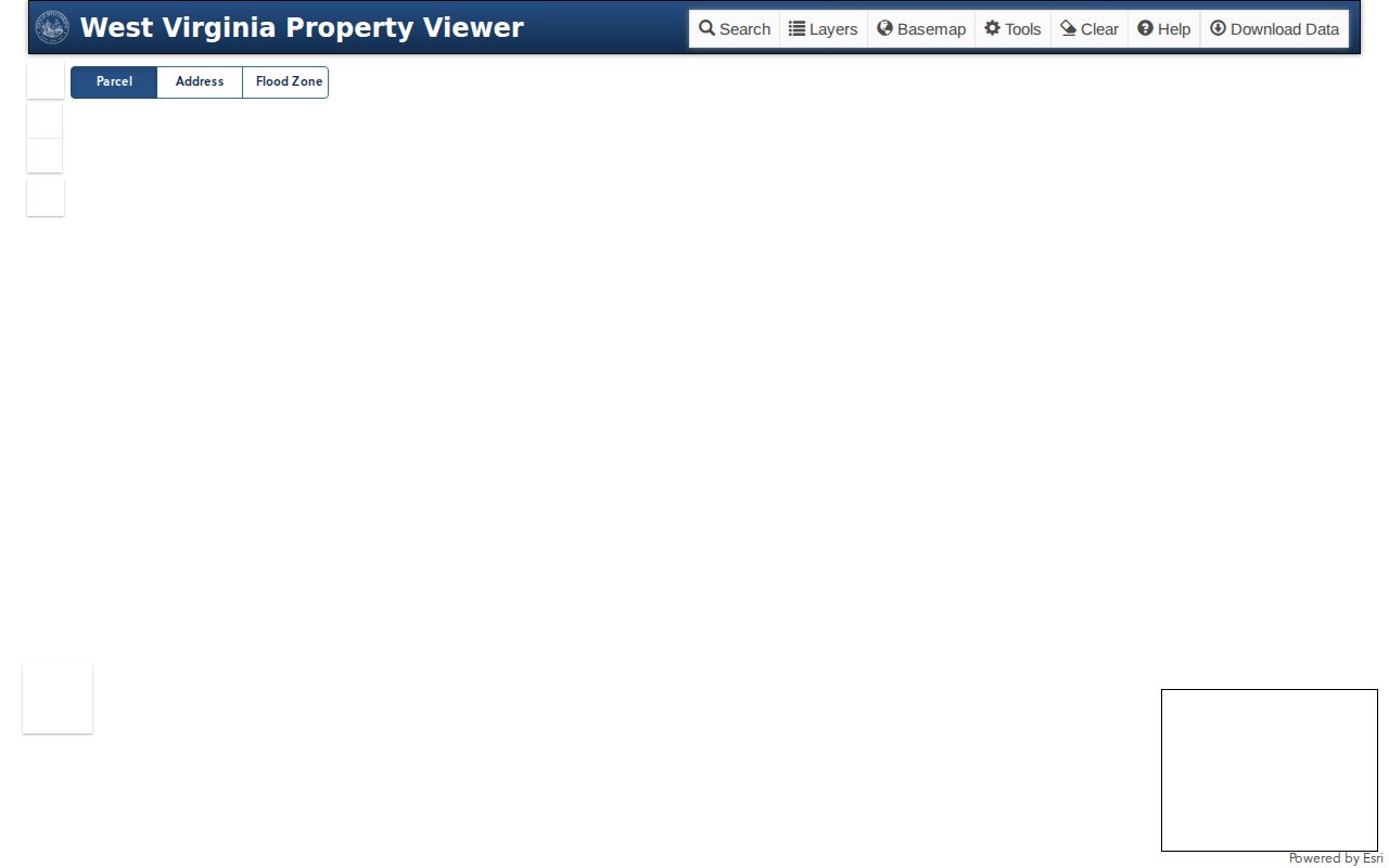
The viewer supports geographic comparison. The Assessor and Clerk supply the dated records behind each lot.
Morgantown Owners Are Not Neighbors
A tax-year owner may live elsewhere. A mailing address may belong to an owner, firm, estate, or agent and differ from the parcel's physical address. Homestead or class data can add context, but it cannot alone show occupancy.
A resident may appear in a dated directory without owning land. Label each role as the source does: owner, taxpayer, grantee, voter, or directory listing. This is the key myth to avoid when researching Morgantown neighbors.
- Parcel
- A mapped unit of land used for assessment.
- Situs address
- The physical property location, which can differ from mail.
- Adjacent parcel
- A lot whose polygon touches the subject parcel.
- Easement
- A recorded right to use part of land for a stated purpose.
Compare Morgantown Neighbor Tax Years
The Assessor includes a current/history checkbox plus owner, street, city, district, map, parcel, deed, book/page, date, sale price, acreage, and class filters. Open each nearby lot on its own. Record whether history was enabled, since a past owner can otherwise look current.
The Assessor warns that its map is an assessment aid, not a legal survey. Follow book and page to the Monongalia County Clerk when title matters. The online cutoff is not verified, but the office has a public computer and copies.
Note: A tax-year comparison may explain a transfer, but it cannot prove when a Morgantown neighbor moved into a home.
Morgantown Neighborhood Groups
The City publishes civic meeting details, not private member rosters. Groups help place a block in community context, but their areas do not replace parcel or ward lines.
| Association | Published rhythm | Place |
|---|---|---|
| Evansdale | First Wednesday, 6:30 | Percival Hall |
| First Ward | Fourth Monday, 6 | Jack Roberts Park |
| Greenmont | Last Monday, 7 | Gene's Wilson |
| South Park Association of Neighbors | Last Wednesday, 7 | Eaton Park or First Christian |
| Suncrest | Last Thursday | Zoom |
| Wiles Hill-Highland Park | Third Wednesday | Community Center |
| Woodburn | Quarterly | Community Complex |
Check the official association directory because schedules change. City contact is 304-284-7405.
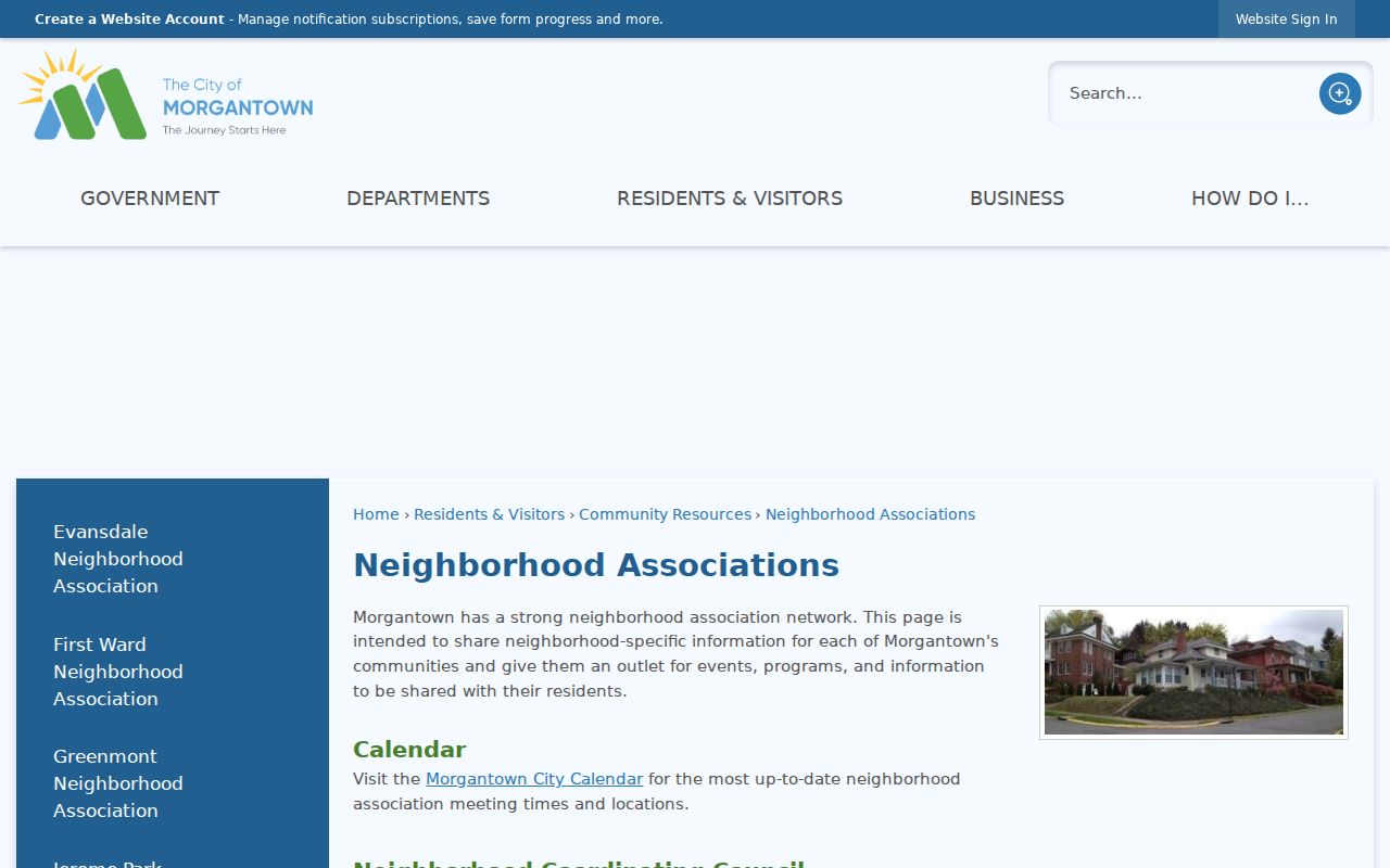
The public directory connects a block with civic life without claiming each home belongs to a group.
See Earlier Morgantown Neighbors
Sanborn fire maps provide dated views of buildings and streets. Morgantown sets grow from one sheet in 1892 to 40 sheets in May 1921, with 1899, 1904, 1906, and 1911 editions. Later sets reach Westover, South Sabraton, Granville, Riverside, Star City, and Sturgiss City.
Maps do not name residents. Pair a sheet with the nearest directory year and describe a person only as listed at an address in that volume. The 1901 directory groups streets by four wards and names Greenmont, South Park, Seneca, and Wiles' Addition. Shared addresses do not prove family ties.
A useful sequence is modern parcel map, old footprint, dated directory, then a deed if land continuity matters. It keeps the history of Morgantown neighbors tied to evidence.
Morgantown Street Names Need Care
The Old Stone House once stood on Long Alley, now Chestnut Street. The local addressing ordinance generally keeps one street name through its length and says a suffix alone should not divide a name.
For later unincorporated-county changes, the ordinance describes an 80 percent parcel-owner petition threshold and $50 nonrefundable deposit. Search old and new names when sources disagree. Keep USPS and E-911 labels separate too. A Morgantown mailing label may reach beyond city limits.
Morgantown Neighbor Tools Compared
Official records identify a custodian, role, and date. Commercial tools may merge stale addresses or infer relationships that no official source confirms.
| Point | Official records | Commercial category |
|---|---|---|
| Role | Owner, voter, grantee, or listing is labeled | Roles may blend |
| Date | Tax year or record date appears | Refresh may be unclear |
| Correction | Named custodian controls the record | Process varies |
| Geography | Adjacency is visible | Nearby links may be inferred |
Use the Clerk, Assessor, parcel viewer, City, library, or archive. An aggregate profile is not proof of who your neighbors are.
Read Morgantown Block Deeds
A parcel map shows which lots touch, but a recorded instrument explains legal ties that the map cannot. Search the Monongalia County Clerk Electronic Records Search when a shared drive, right of way, lot split, or boundary reference matters. The official help supports searches by individual or firm name, instrument number, book and page, part of a legal description, and a recording span of no more than one year. An easement may grant a stated use across nearby land. It does not establish a friendship, family link, or shared household between Morgantown neighbors.
Carry the assessor's deed book and page into the Clerk index first. If that reference fails, try the owner as both grantor and grantee, narrow the dates, and retain the parcel's legal description. Broad name searches are prone to false matches. A legal-description search can also take several minutes. Keep the document type, recording date, party role, instrument number, and lot description together so a result cannot be detached from its context.
Online coverage does not have a verified start year. The Clerk's public computer and nominal-fee copy service at 243 High Street, Courthouse Room 123, are the fallback for an image or an older entry. Staff can route a book-and-page request, but only the recorded document should be treated as title evidence. The assessor itself warns that assessment maps are not legal surveys. When the question concerns the precise ground rather than the record trail, a licensed survey and legal advice may be needed.
For city-held block files, such as a dated ordinance, council record, or available address-based code document, contact the Morgantown City Clerk or the responsible city unit. No public municipal permit-result index was verified. A focused request under the West Virginia Freedom of Information Act should name the address, record type, and date span. The statute provides inspection, copies, or a written denial for a sufficiently specific request within its five-day framework, excluding weekends and legal holidays.
Keep a small block ledger while moving between systems. Give each row the parcel ID, physical address, source date, stated party role, deed reference, and any old street form. Mark a blank field as unknown instead of filling it from a nearby lot. This matters in dense Morgantown blocks where one mailing address can serve several mapped parcels or where a corner lot faces a different street than its tax entry suggests. If the map and deed appear to conflict, save the viewer link and request the instrument before drawing a boundary conclusion. The ledger also makes it clear which facts came from public geography and which came from a dated name index.
Review that ledger by tax year, not just by surname. The same name may appear on more than one lot, and one parcel can change hands while the block around it stays the same. A dated comparison helps separate a real transfer from a spelling variant or stale mailing field.
Privacy for Morgantown Neighbors
Voter files exclude Social Security, driver or state ID numbers, phone numbers, and email addresses. Courts redact core identifiers. The Address Confidentiality Program provides substitute addresses for qualifying survivors. Never cross-match records to expose one.
Keep the work geographic and minimal. Record only the parcel, role, source, and date needed to understand the block. Do not publish private rosters, utility data, birth dates, or unsupported occupancy claims.
Lawful use. Use Morgantown neighbor records for civic, historical, and personal research. Never stalk, harass, threaten, or expose another person.